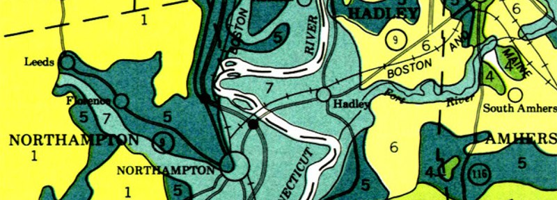

I just discovered these incredible soil maps of Western Massachusetts. Produced by the USDA in the 1980s, they contain a wealth of information on what is under our feet. Here in the Pioneer Valley, we live on vast piles of glacial till and outwash. An ice sheet 2 miles (!) thick slid across this area 12 to 14,000 years ago, leaving behind sand, gravel, stones, boulders, and bedrock when it melted.
The maps are incredibly detailed. The ground under the leaf weir reminds me of nothing so much as a sandy beach, which it is. This hillside was once a bank on an oxbow of the Mill River, carving its way through the glacial till. Over time the river straightened and moved away, but the bank and the beach remain.

The map describes Hinckley Loamy Sand where I live, consisting of brown sandy soil to a depth of 6 inches, with mixed sand and gravel below to a depth of 60 inches or more. The sandy soil is quick draining and acidic, making it friendly to deep rooted plants like maple trees and forsythia bushes, but not so friendly to grass. The soil health wasn’t improved by fifty years of chem-lawn treatments either.
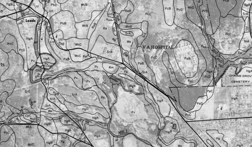
The USDA documents even make recommendations for growing on different types of soil. For ours, they recommend terracing to control water flow and conserve organic matter, which is exactly what we’d been doing intuitively. It’s strange to think of the place we now inhabit as nothing more than a sandy wash, and to see that history coming out of the ground beneath our feet. But recognizing that context shapes the actions we take as we begin to terraform our little slice of the planet.